
Tekman, a district of Erzurum province, is located on the high and rugged terrains of the Eastern Anatolian Region. The district, defined by its proximity to the historical Silk Road route and distinct geographical structure, possesses various cultural elements and natural resources. Tekman's economy is predominantly based on agriculture and animal husbandry, and in recent years, it has also begun to reveal its tourism potential.
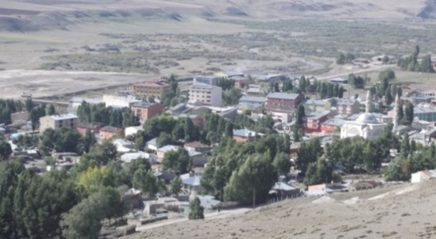
Tekman (Source: Erzurum Encyclopedia)
History
The history of Tekman and its surroundings is quite ancient, with traces of settlement dating back to the Neolithic Period. Throughout history, the region has been dominated by various civilizations such as the Hurrians, Urartians, Assyrians, Medes, Persians, Romans, Byzantines, and Sasanids. Following the Battle of Manzikert in 1071 and the spread of Seljuk Turks into Anatolia, Tekman also came under Turkish rule. After the Seljuks, the region remained under the control of the Ayyubids, the Anatolian Seljuk Sultanate, and the Ilkhanids, then later became the scene of conflicts between the Akkoyunlu and Karakoyunlu states.
In the early 15th century, with the rise of the Ottoman Empire, Tekman was incorporated into Ottoman territory. During the Ottoman period, it was administered as a sanjak bağlı to the Erzurum Eyalet and played a role in commercial and cultural activities in the region. During the weakening process of the Ottoman Empire, Tekman and its surroundings were affected by Russian occupations and wars. Especially the Ottoman-Russian wars in the 19th century caused great destruction in the region. With the establishment of the Grand National Assembly of Türkiye and the victory in the War of Independence, Tekman became part of the Republic of Türkiye and gained district status under Erzurum province after the proclamation of the Republic.
Geography
Tekman is located approximately 130 kilometers south of Erzurum city center. The district is situated on a mountainous and high plateau. It is bordered by Çat and Hınıs to the north, Karayazı to the east, Karlıova district of Bingöl to the south, and Varto district of Muş to the west. The average elevation of the district is above 2000 meters. Tekman's geographical structure is characterized by deep valleys, high mountains, and vast plateaus. Among the important mountains are the Tekman Mountains, an extension of the Allahuekber Mountains. Important rivers in the district include the tributaries of the Murat River.
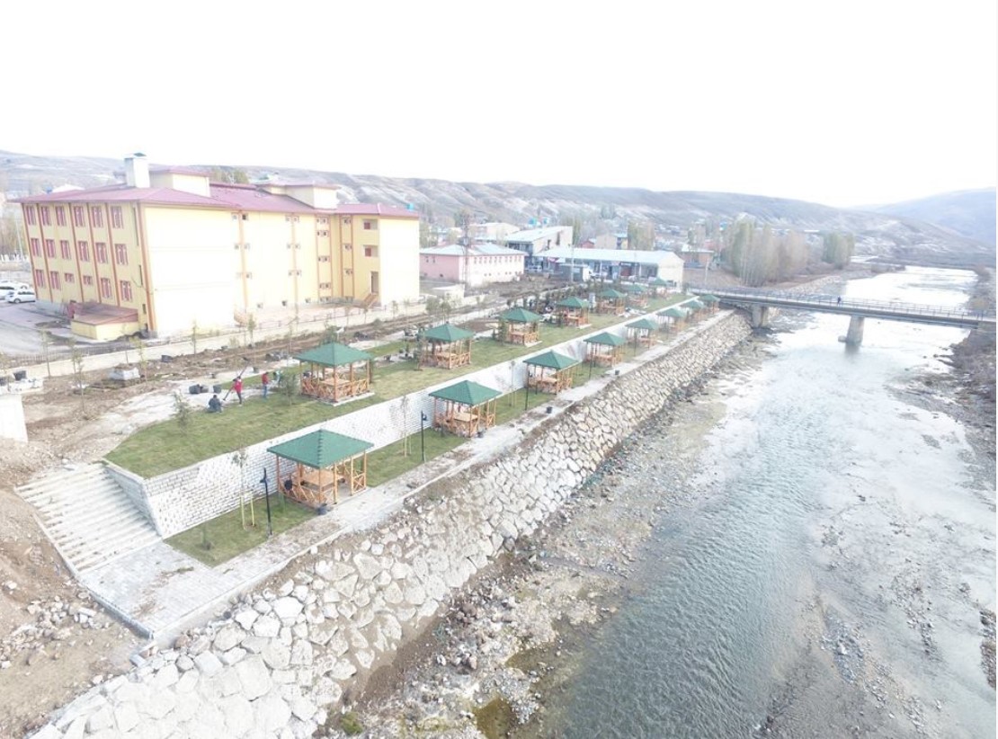
Tekman park (Source: Tekman Governorship)
Climate
Tekman experiences the typical continental climate of the Eastern Anatolia Region. Summers are short, cool, and dry, while winters are long, cold, and snowy. The annual average temperature is low, and the temperature difference between day and night is significant. Snowfall can generally continue from October to April, and snow depth can reach significant levels in some places. Spring and autumn months are short and mild transition periods.
Population - Demography
According to the 2024 Address-Based Population Registration System (ADNKS) data from the Turkish Statistical Institute (TÜİK), the total population of Tekman district is 7,248 people. Of this population, 3,156 (43.5%) live in the district center, and 4,092 (56.5%) live in rural settlements. The district's population has shown fluctuations over time due to geographical conditions and economic factors. The population density in rural areas is lower compared to the district center.
When the age structure is examined, the presence of a young population is notable. However, due to limited economic opportunities, migration to larger cities is evident in the district. Gender distribution is generally balanced, but seasonal changes occur due to migration movements. In terms of ethnic structure, the district mainly has a mixed Turkish and Kurdish population. Socio-cultural life has a structure where traditional ways of life are maintained. The education level has increased with investments made in recent years; however, geographical conditions limit access to education in some areas.
Economy
Tekman's economy is largely based on agriculture and animal husbandry. Agricultural activities are generally carried out using traditional methods, and the main products include wheat, barley, rye, and forage crops. High altitudes and climatic conditions limit agricultural diversity. Animal husbandry is widespread, especially in the form of small ruminant (sheep and goats) breeding. The vastness of pastures and plateaus provides favorable conditions for animal husbandry activities.
The industry and trade sectors are undeveloped in the district. There are small-scale businesses catering to local needs. In recent years, alternative economic activities such as beekeeping and local product production have been implemented on a limited scale. Efforts are being made to evaluate the tourism potential with incentives from the state and local governments. However, transportation and infrastructure problems are among the factors negatively affecting economic development.
Tourism - Culture - Cuisine
Tekman's tourism potential, with its natural structure and historical traces, is not yet sufficiently developed. Ancient settlements and castles in the district serve as sources for historical research. High plateaus and mountainous areas offer suitable environments for activities such as nature walks and mountaineering. However, the inadequacy of tourism infrastructure prevents the full realization of this potential.
Tekman's cultural structure reflects the general characteristics of the Eastern Anatolia Region, but there are also local traditions and customs specific to the area. Folk dances, handicrafts, and oral literature are prominent components of local culture. The cuisine culture has also been shaped by the region's geographical and economic structure. Basic foodstuffs include flour, meat, and dairy products. Local dishes include meat dishes cooked in a tandoor, pastries, and various delicacies made from dairy products.