
Erbaa, one of Tokat’s largest and most developed districts, was established in a fertile plain in the Central Black Sea Region, where the Kelkit and Tozanlı rivers merge to form the Yeşilırmak. Due to its agricultural lands, strategic location, and hosting many civilizations throughout history, it has been an important center both culturally and economically.
History
The history of Erbaa dates back to the Chalcolithic Age (5000-3000 BCE). Excavations in the region indicate that it has been an important settlement area since the Hittites. Throughout history, the Hittites, Phrygians, Persians, Kingdom of Pontus, Rome, Byzantium, Danishmends, Anatolian Seljuks, Ilkhanids, and Ottomans successively dominated the region.
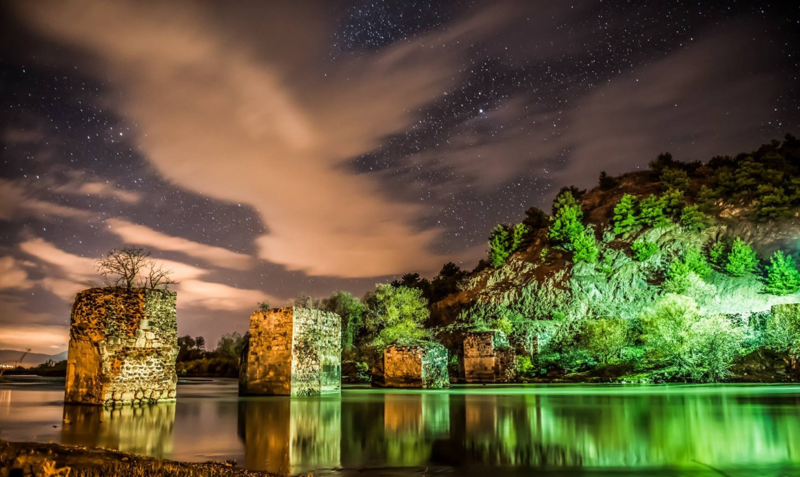
Erbaa Castle Bridge - Central Black Sea Development Agency
Ancient Period (5000 BCE - 395 CE)
- Important settlements such as the Horoztepe Ancient City are located in the region. Excavations at this mound have uncovered cemeteries and various artifacts from the Early Bronze Age.
- During the reign of Pontus King Mithridates VI Eupator, the region was known as “Eupatoria”.
- Under Roman rule, the region joined the Roman Empire with the collapse of the Kingdom of Pontus (66 BCE) and became an important trade center.
Byzantine Period and the Arrival of Turks in the Region (395 - 1392)
- During the Byzantine period, the region was named "Magnapolis", and Boğazkesen Castle was built for defense.
- After the Battle of Manzikert in 1071, Danishmend Gazi conquered the region, bringing the first Turkic-Islamic artifacts to Erbaa and its surroundings.
Although Byzantium captured the region for a short period in the 1st century, it was re-annexed to the Anatolian Seljuk State during the reign of Kılıçarslan II.
Ottoman Period and Erbaa Becoming a District (1392 - 1923)
- In 1392, Yıldırım Bayezid incorporated the region into Ottoman territory.
- During the Ottoman period, Erbaa developed economically due to its location on trade routes, distinguishing itself with viticulture, tobacco, and grain production.
- In 1872, Erbaa was organized as a district affiliated with the Amasya Sanjak, and in 1892, it was connected to Tokat.
Important Events
Erbaa Earthquakes and the Great Earthquake of 1942
Erbaa, being located on the North Anatolian Fault Line, has been subjected to many major earthquakes throughout its history.
- 1939 Erzincan Earthquake: This 7.9 magnitude earthquake caused serious damage in Erbaa.
- December 20, 1942 Erbaa-Niksar Earthquake: This major earthquake, with a magnitude of 7.0, almost completely destroyed Erbaa. Nearly all of Erbaa was devastated, hundreds of people lost their lives, and thousands were left homeless. Since the district center was largely destroyed, a new city plan was created in 1946, and Erbaa was relocated to its current site.
- 1943 Ladik Earthquake: This 7.6 magnitude earthquake caused the complete collapse of already damaged structures in Erbaa.
After these earthquakes, construction and urban planning in Erbaa were made more resilient, and the process of modernization accelerated.
Economic Developments and Industrialization
- From the 1950s onwards, tobacco and grape production rapidly increased, with agricultural output becoming one of the district’s most important sources of income.
- In 1973, with Tokat being included among the provinces prioritized for development, small-scale industrial investments were made, and the Erbaa Organized Industrial Zone was established.
- Today, Erbaa continues to grow economically with its earth industry (brick and tile factories), textile, forest products, and food industries.
Geography and Climate
Erbaa is located in the Yeşilırmak Basin and is surrounded by the Canik Mountains to the north and the Sakarat and Boğalı Mountains to the south. The district covers an area of 1,177 km² and is 85 km away from Tokat city center.
Its climate shows transitional characteristics between the Black Sea and Central Anatolian climates:
- While winters are mild and rainy,
- summers are hot and dry.
- Due to the region's microclimate feature, agricultural products such as grapes, walnuts, and tobacco are cultivated very efficiently.
Registered Products
Erbaa stands out with its geographically indicated and registered products in agriculture and gastronomy:
1. Erbaa Narince Grape
- It is considered one of Türkiye's highest quality table grapes.
- It stands out with its unique thin skin, aromatic taste, and durability.
- This grape, which can also be used in wine production, is one of the main agricultural products of Erbaa's economy.
2. Erbaa Vine Leaves
- Vine leaves obtained from Narince vineyards are preferred for their soft texture and veinless structure.
- They are ideal for making sarma and are in high demand throughout Türkiye.
- These geographically indicated leaves hold an important place in the district's agricultural development.
3. Erbaa Molasses
- This molasses, produced by natural methods, is known for its high nutritional value and intense aroma.
- Thanks to its immune-boosting properties, it is frequently consumed during winter months.
- These registered products contribute to the regional economy by reflecting Erbaa’s agricultural potential and traditional production methods.
Culture and Historical Structures
Erbaa offers visitors many different options with its historical and cultural heritage:
- Horoztepe Ancient City: An archaeological site where important findings from the Chalcolithic and Bronze Ages have been unearthed.
- Boğazkesen (Castle) Bridge: One of the region's most important historical structures, dating back to the Roman period.
- Silahtar Ömer Pasha Mosque: Built in the 17th century and one of the finest examples of Ottoman-era wood craftsmanship.
- Erbaa City Museum: A museum that sheds light on the history and culture of the district.
Transportation
Erbaa is located on important routes connecting the Black Sea and Central Anatolia:
- Road: Transportation is easy via connecting roads to Samsun, Amasya, and Sivas directions.
- Railway: The Samsun-Sivas line passes through the district.
- Airway: Air travel is also available with the reopening of Tokat Airport in 2022.
Erbaa has hosted different civilizations throughout its history and, despite being destroyed by earthquakes, has continued to develop by being rebuilt each time. Today, with its strong agricultural sector, growing industry, and cultural richness, it continues to be one of Tokat's most important districts.