
Nallıhan is a district located in the Central Anatolia Region of Türkiye, affiliated with Ankara province. Situated approximately 160 kilometers from Ankara city center, Nallıhan is located in the west of the province, on the historical Silk Road. To the east of the district lies Beypazarı, to the north are Göynük and Mudurnu districts of Bolu, and to the west is Mihalıççık district of Eskişehir. With an area of approximately 2,079 km², the district is one of Ankara's largest districts in terms of area.
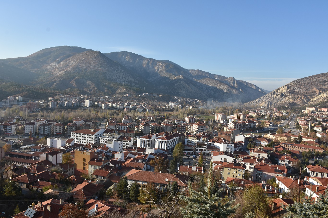 Ankara, Nallıhan - General View (Nallıhan District Governorate)
History
The history of Nallıhan district dates back to very ancient times. The region has been inhabited by Turks since 1073 and remained under the rule of the Danishmends and the Anatolian Seljuk State. Nallıhan, an important accommodation and trade center during the Ottoman period, took its name from the caravanserai called "Nallı Han" built by Grand Vizier Nasuh Pasha in 1594. During the Republican period, it gained district status in 1935.
Geography and Climate
The altitude of Nallıhan district is approximately 625 meters. The geography of the district bears the characteristics of both the Central Anatolia and Western Black Sea regions; it is surrounded by mountainous and rugged terrain. The Sakarya River and Nallıhan Stream are important water sources in the region.
The climate exhibits a transitional characteristic between the continental climate of Central Anatolia and the mild climate of the Western Black Sea: spring and autumn months are rainy, summers are hot and dry, and winters are cold and snowy.
Population and Demographic Structure
According to the 2020 data from the Nallıhan District Governorate, the total population of Nallıhan district is 27,579 people. Of this population, 19,124 live in the district center, and 8,455 live in towns and villages. There are 84 neighborhoods affiliated with the district. Due to migration, the proportion of young population has decreased, while the average age has increased in rural areas.
Economy
Nallıhan's economy largely relies on agriculture and animal husbandry. Major agricultural products include wheat, barley, chickpeas, and lentils. Sericulture (silkworm breeding) and beekeeping activities are also common in the district. Energy production and mining activities in the Çayırhan and Sarıyar regions are important components of the economic structure.
Tourism, Culture, and Cuisine
Nallıhan has tourism potential with its natural beauties and historical riches. Nallıhan Bird Sanctuary, located within the borders of Davutoğlan village, is the most important tourism center.
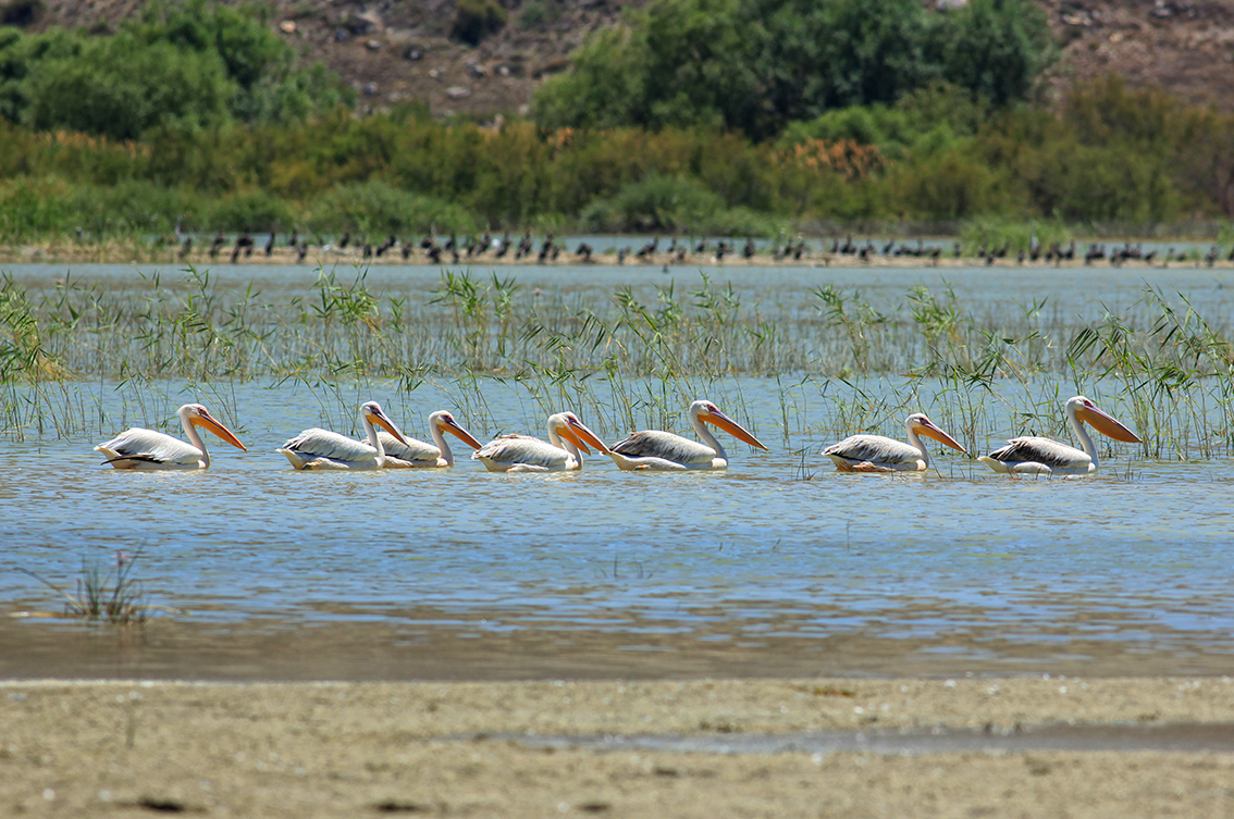 Ankara, Nallıhan Bird Sanctuary (Nallıhan District Governorate)
Additionally, natural and historical areas such as Uyuzsuyu Waterfall and Juliopolis Ancient City are important places for tourism. The Rainbow Hills in the region, with their colorful geological structure formed by different mineral layers, are among the popular spots for visitors. These hills are a popular destination for both photographers and nature travelers.

Ankara, Nallıhan Rainbow Hills (AA)
Traditional Central Anatolian culture is preserved in the district, and wedding traditions, folk dances, and handicrafts are important elements of social life.
Nallıhan cuisine offers local delicacies such as tarhana soup, keşkek, meat and vegetable dishes, and tandoori kebab. Additionally, homemade products like molasses, walnut sausage (cevizli sucuk), and egg noodles (erişte) hold an important place in both home consumption and local markets.