Mount Erciyes
The White Giant Stretching Toward the Clouds
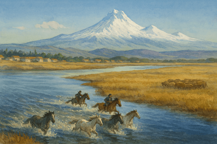
Mount Erciyes is a natural wonder rising from the southwest of Kayseri, its snow-capped peak reaching toward the sky. As Türkiye’s fifth highest and the highest mountain in Central Anatolia, Erciyes stands at 3917 meters and welcomes visitors year-round, from winter sports enthusiasts to nature hikers. This volcano, which erupted approximately 30 million years ago, also shaped the unique landforms of Cappadocia.

(Generated by Artificial Intelligence)
Where and What Kind of Mountain?
Erciyes is a stratovolcano rising as a single massif. Its summit is dome-shaped and features two main peaks: Greater Erciyes and Lesser Erciyes (Safrakaya). Numerous smaller volcanic cones dot its northern, eastern, southern and western slopes. Surrounding the mountain, rock formations created by ancient lava flows bear witness to its past eruptions.
Volcanic History
Volcanic activity began in the Tertiary Period and continued for millions of years. Lava, tuff and pumice spread for kilometers across the landscape. The geographer Strabo recorded that flames illuminating the night sky were observed during Erciyes’s last known eruption around 2000 years ago. Today, the volcano is completely dormant.

(Generated by Artificial Intelligence)
Glaciers and Natural Life
At higher elevations of Erciyes, particularly between 3000 and 3500 meters, glacial valleys and ice basins can be found. A remaining glacier, still active, stretches 700 meters in length and is 20 to 50 meters thick. The lower slopes are covered by steppe vegetation, mid-elevations host alpine flora, and higher zones feature high mountain plant communities.
A Haven for Sports and Tourism
In winter, Erciyes hosts ski resorts; in summer, it offers trekking trails, welcoming athletes and nature lovers throughout the year. Roads passing through Tekir Yaylası facilitate access to the mountain. Routes extending from Kayseri to the Kapuzbaşı Waterfalls are especially popular among hiking enthusiasts.

(Generated by Artificial Intelligence)