

This article was automatically translated from the original Turkish version.
+1 More
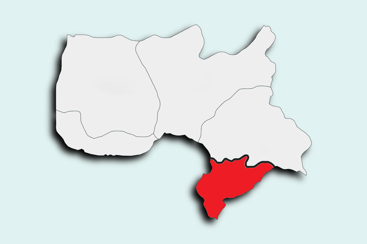
Derecik is a district of Hakkâri province in Eastern Anatolia, located at the southeasternmost tip of Türkiye.
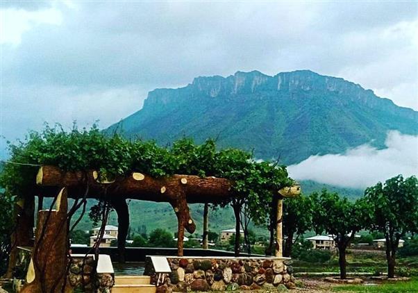
Derecik (Derecik Müftülüğü)
The region is situated at the zero point of the Iraqi border and features a rugged topography characterized by steep mountains and deep valleys. One of the most important physical features shaping the area is its network of small streams and ravines, which originate from the Balkaya Mountains and converge in the valley floors, giving the district its name.
Şemdinli borders Derecik, and although the district’s mountainous terrain makes transportation networks challenging, its strategic location and presence of a border crossing grant it potential as an international transit point. Located at an average elevation of 1,450 meters above sea level, Derecik experiences a harsh continental climate, with microclimatic effects also observable in the valleys.
The history of Derecik and its surroundings parallels that of the broader Hakkâri and Şemdinli regions due to their geographic proximity and cultural ties. In antiquity, the area fell within the influence of major civilizations including the Sumerians, Akkadians, Urartians, and Assyrians. The ancient name of the settlement, "Bodamiya" (Potamia), meaning "riverbed" or "stream valley," reflects its historical development around water sources.
During the Ottoman period, the region was administered primarily for border security and tribal governance. After the proclamation of the Republic, it remained a village under Şemdinli district of Hakkâri for many years. Due to population growth and its strategic position along the border, it was granted municipal status on 25 October 1995, becoming a town. Continuing its development, it officially became an independent district on 18 October 2018 under a new law, separating from Şemdinli and establishing Derecik Municipality.
Derecik lies at the southeasternmost edge of Türkiye, along the northern border of Iraq. Its northern and western boundaries are bordered by the mountains of Şemdinli district, while its southern and eastern boundaries directly adjoin Iraqi territory. The district’s territory is divided by the rugged mass of the Balkaya Mountains.
Administratively, Derecik district consists of nine neighborhoods in the center and four main villages (along with 19 hamlets dependent on these villages):
The district’s economic dynamics are shaped by its border geography. Its primary livelihood sources are small-scale livestock farming, agriculture, and border trade.
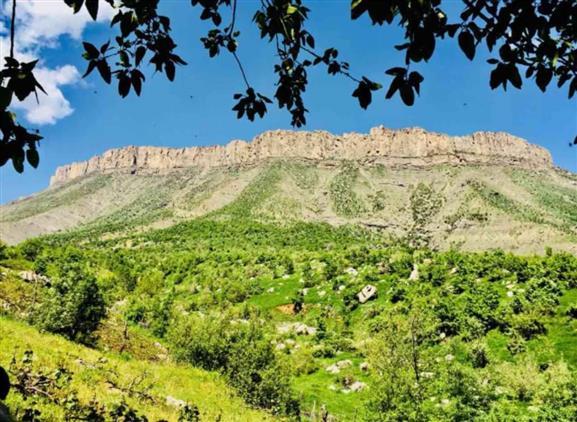
Derecik (Derecik Müftülüğü)
Derecik has a dynamic demographic structure with a high proportion of young people. Due to its location on the border, the local population is supplemented by temporary government officials and security personnel.
According to TÜİK’s address-based population registration system data for 2025, the district’s overall population is as follows【1】:
T.C. Derecik Belediyesi. "Derecik: Geçmişin İzinde Geleceğin Eşiğinde (Tarihçe ve Coğrafi Yapı)." Accessed May 18, 2026.
T.C. Derecik Kaymakamlığı. "Mahalli İdareler ve İlçe Nüfusu." Accessed May 18, 2026.
T.C. Diyanet İşleri Başkanlığı - Derecik İlçe Müftülüğü. "Kurumsal Yapı ve İlçedeki Cami/Kurs Bilgileri." Accessed May 18, 2026.
Türkiye İstatistik Kurumu (TÜİK). "Bölgesel İstatistikler (CIP) Portalı - Hakkâri Göstergeleri." Accessed May 18, 2026.
https://cip.tuik.gov.tr
https://hakkari.diyanet.gov.tr/derecik/Sayfalar/home.aspx
https://www.derecik.bel.tr
https://www.derecik.gov.tr
[1]
TÜİK. "Total Population." Access date: 21 May 2026. https://cip.tuik.gov.tr/
History
Geographical Location and Neighborhoods
Economy and Trade
Population and Demographic Structure