This article was automatically translated from the original Turkish version.
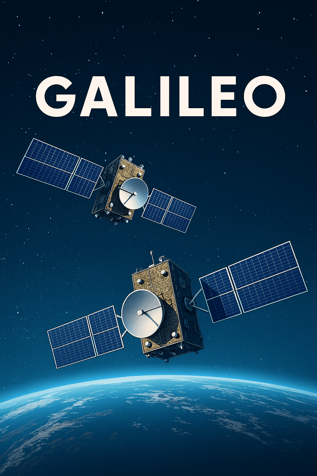
Galileo Positioning System (Generated with Artificial Intelligence)
Origin(s) | in cooperation with the European Space Agency (ESA) European Union (EU) | ||||||||
|---|---|---|---|---|---|---|---|---|---|
Control | Fully civilian control | ||||||||
First Service Start | 15 December 2016 | ||||||||
Number of Satellites | 28 (24 operational + 2 reserve + 2 limited use) | ||||||||
Orbit Type | Medium Earth Orbit (MEO) at an altitude of 23222 km | ||||||||
Frequency Bands | E6 (1278.75 MHz) E5b (1207.14 MHz) E5a (1176.45 MHz) E1 (1575.42 MHz) | ||||||||
Position Accuracy | High Accuracy Service (HAS) with ~20 cm Open services with ~1 meter accuracy | ||||||||
Galileo is a global satellite navigation system developed by the European Union and operated under full civilian control. Since 2016, the system has provided an independent and highly accurate solution tailored specifically to Europe’s positioning and timing needs. Unlike the United States’ GPS and Russia’s GLONASS, Galileo is designed exclusively for civilian users, distinguishing it through this feature. Currently, over 3.5 billion devices worldwide utilize Galileo signals. Thanks to its dual-frequency signals, Galileo can achieve real-time positioning accuracy down to one meter. The system is designed to be interoperable with GPS and GLONASS and offers global coverage.
The Galileo constellation consists of 24 active satellites distributed across three orbital planes, along with spare satellites. The satellites are positioned in Medium Earth Orbit (MEO) at an altitude of approximately 23,222 kilometers above Earth. Two satellites, despite being placed in incorrect orbits, are still used for search and rescue missions. This satellite configuration ensures high signal accuracy even in polar regions.
The ground infrastructure includes two main control centers in Fucino (Italy) and Oberpfaffenhofen (Germany), as well as supporting facilities such as the Galileo Sensor Stations (GSS), the Galileo Security Monitoring Center (France and Spain), the European GNSS Service Center (Spain), and the Galileo Reference Center (Netherlands). This structure ensures the integrity and time synchronization of the system.
Galileo offers four main services:
Additionally, successful tests of the OSNMA (Open Service Navigation Message Authentication) have been conducted. This technology guarantees to receivers that GNSS data is authentic and not spoofed. Application areas include precision agriculture, autonomous transportation systems, maritime navigation, banking transactions with timestamping, energy distribution, and mobile communications. For example, Galileo provides nanosecond-level timing accuracy for banking operations.
Second-generation Galileo satellites are being gradually deployed during the 2020s. These satellites are equipped with electric propulsion systems, digital payloads, reprogrammability, and more precise atomic clocks. As a result, the system will become adaptable to evolving user demands. The newly developed Emergency Warning Satellite Service (EWSS) is planned to enter service in 2025. This service will be capable of sending direct alerts to the public during natural disasters or human-caused crises and will instantly communicate the affected area and the level of danger. EWSS aims to ensure communication continuity, particularly in rural and off-grid areas.
“Galileo Satellite Navigation.” *European Commission – Defence Industry and Space*. Accessed July 18, 2025. https://defence-industry-space.ec.europa.eu/eu-space/galileo-satellite-navigation_en.
“Galileo – Satellite Navigation.” European Space Agency (ESA). Accessed July 18, 2025. https://www.esa.int/Applications/Satellite_navigation/Galileo/What_is_Galileo.
“Galileo: Europe's Global Navigation Satellite System.” *Galileo GNSS*. Accessed July 18, 2025. https://galileognss.eu/.
“Galileo: What Is Galileo?” European GNSS Service Centre (GSC). Accessed July 18, 2025. https://www.gsc-europa.eu/galileo/what-is-galileo.
Galileo Positioning System (Generated with Artificial Intelligence)
Origin(s) | in cooperation with the European Space Agency (ESA) European Union (EU) | ||||||||
|---|---|---|---|---|---|---|---|---|---|
Control | Fully civilian control | ||||||||
First Service Start | 15 December 2016 | ||||||||
Number of Satellites | 28 (24 operational + 2 reserve + 2 limited use) | ||||||||
Orbit Type | Medium Earth Orbit (MEO) at an altitude of 23222 km | ||||||||
Frequency Bands | E6 (1278.75 MHz) E5b (1207.14 MHz) E5a (1176.45 MHz) E1 (1575.42 MHz) | ||||||||
Position Accuracy | High Accuracy Service (HAS) with ~20 cm Open services with ~1 meter accuracy | ||||||||
No Discussion Added Yet
Start discussion for "Galileo Positioning System" article
System Structure and Technical Infrastructure
Services Provided and Application Areas
Future Vision and Developments