This article was automatically translated from the original Turkish version.
+2 More
Nallıhan
Province(s) | Ankara | ||||||||
|---|---|---|---|---|---|---|---|---|---|
Geographic Region | Central Anatolia | ||||||||
Population | 27.579 | ||||||||
District Governor | Semih DOĞANOĞLU | ||||||||
Mayor(s) | Ertunç GÜNGÖR | ||||||||
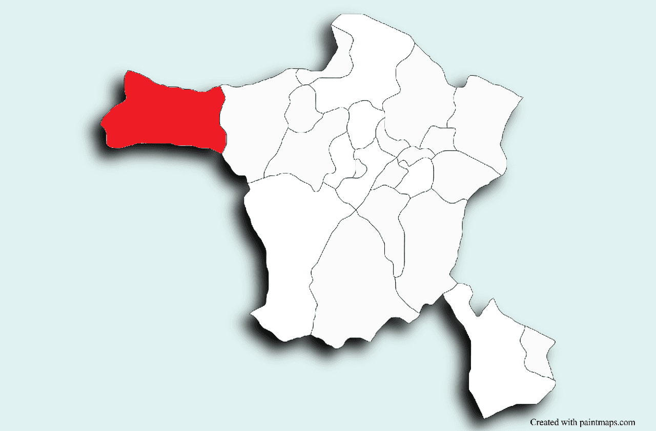
Nallıhan is a district in Türkiye’s Central Anatolia Region, affiliated with Ankara. Located approximately 160 kilometers from the city center of Ankara, Nallıhan lies in the western part of the province along the historic Silk Road. To its east is Beypazarı, to its north are Göynük and Mudurnu districts of Bolu, and to its west is Mihalıççık district of Eskişehir. With an area of approximately 2,079 km², the district is one of Ankara’s largest by surface area.

Ankara, Nallıhan – General View (
The history of Nallıhan dates back to ancient times. The region was settled by Turks beginning in 1073 and came under the rule of the Danişmendids and the Anatolian Seljuk State. During the Ottoman period, Nallıhan served as an important stopover and trade center, deriving its name from the caravanserai named “Nallı Han,” built in 1594 by Grand Vizier Nasuh Pasha. In the Republican era, it attained district status in 1935.
The elevation of Nallıhan is approximately 625 meters. The district’s geography exhibits characteristics of both Central Anatolia and Western Black Sea regions, featuring mountainous and rugged terrain. The Sakarya River and Nallıhan Creek are the region’s principal water sources.
The climate shows a transitional character between the continental climate of Central Anatolia and the temperate climate of the Western Black Sea region: springs and autumns are rainy, summers are hot and dry, and winters are cold with snowfall.
According to 2020 data from the Nallıhan Subprovince, the total population of the district is 27,579. Of this population, 19,124 reside in the district center, while 8,455 live in towns and villages. The district comprises 84 neighborhoods. Due to migration, the proportion of young people has declined, and the average age has increased in rural areas.
The economy of Nallıhan is largely based on agriculture and animal husbandry. Major agricultural products include wheat, barley, chickpeas, and lentils. Sericulture and beekeeping are also widespread in the district. Energy production and mining activities in the Çayırhan and Sarıyar regions are significant components of the local economy.
Nallıhan has significant tourism potential due to its natural beauty and historical richness. The most important tourist site is Nallıhan Bird Paradise, located within the boundaries of Davutoğlan village.

Ankara, Nallıhan Bird Paradise (
Natural and historical sites such as Uyuzsuyu Waterfall and Juliopolis Ancient City are also important for tourism. The Rainbow Hills of the region, known for their colorful geological formations created by different mineral layers, are popular destinations for visitors. These hills are a favored spot among photographers and nature explorers.

Ankara, Nallıhan Rainbow Hills (AA)
Traditional Central Anatolian culture is preserved in the district, with wedding customs, folk dances, and handicrafts playing vital roles in social life.
Nallıhan cuisine offers regional specialties such as tarhana soup, keşkek, meat and vegetable dishes, and tandır kebab. Additionally, homemade pekmez, walnut-stuffed sucuk, and erişte are widely consumed at home and hold an important place in local markets.
Anadolu Ajansı. “Nallıhan Gökkuşağı Tepeleri.” Anadolu Ajansı Foto Galeri. Accessed May 10, 2025. https://www.aa.com.tr/tr/pg/foto-galeri/nallihan-gokkusagi-tepeleri/0
Ankara İl Kültür ve Turizm Müdürlüğü. “Nallıhan.” Ankara İl Kültür ve Turizm Müdürlüğü Resmî Web Sitesi. Accessed May 10, 2025. https://ankara.ktb.gov.tr/TR-152779/nallihan.html
Nallıhan Belediyesi. "Tarihçe." Nallıhan Municipality Official Website. Accessed May 10, 2025. https://www.nallihan.bel.tr/HOME/INDEX/BELEDIYE/TARIHCE
Nallıhan Kaymakamlığı Governorate. "Nüfus." T.C. Nallıhan Subdistrict Governorate Official Website. Accessed May 10, 2025. https://www.nallihan.gov.tr/nufus
Nallıhan Kaymakamlığı. “Coğrafi Yapı.” T.C. Nallıhan Kaymakamlığı Resmî Web Sitesi. Accessed May 10, 2025. https://www.nallihan.gov.tr/cografya
Nallıhan Kaymakamlığı. “Kuş Cenneti.” T.C. Nallıhan Kaymakamlığı Resmî Web Sitesi. Accessed May 10, 2025. http://www.nallihan.gov.tr/kus-cenneti
Nallıhan
Province(s) | Ankara | ||||||||
|---|---|---|---|---|---|---|---|---|---|
Geographic Region | Central Anatolia | ||||||||
Population | 27.579 | ||||||||
District Governor | Semih DOĞANOĞLU | ||||||||
Mayor(s) | Ertunç GÜNGÖR | ||||||||
No Discussion Added Yet
Start discussion for "Nallıhan (District)" article
History
Geography and Climate
Population and Demographic Structure
Economy
Tourism, Culture and Cuisine