This article was automatically translated from the original Turkish version.
+1 More
Yörükler Yaylası (Culture Portal)
Location | Darıyeri Yörükler Village Düzce Kaynaşlı | ||||||||
|---|---|---|---|---|---|---|---|---|---|
Elevation(s) | Approximately 475 m | ||||||||
Area Size | 4 hectares (approximately) | ||||||||
Climate(s) | Temperate Black Sea climate cool summers | ||||||||
Vegetation Cover | Oak, Hornbeam, Chestnut; Natural Grasslands | ||||||||
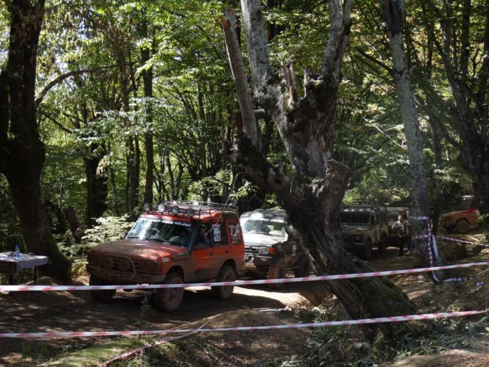
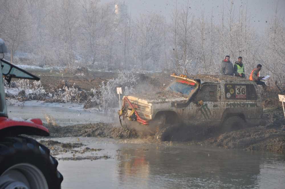
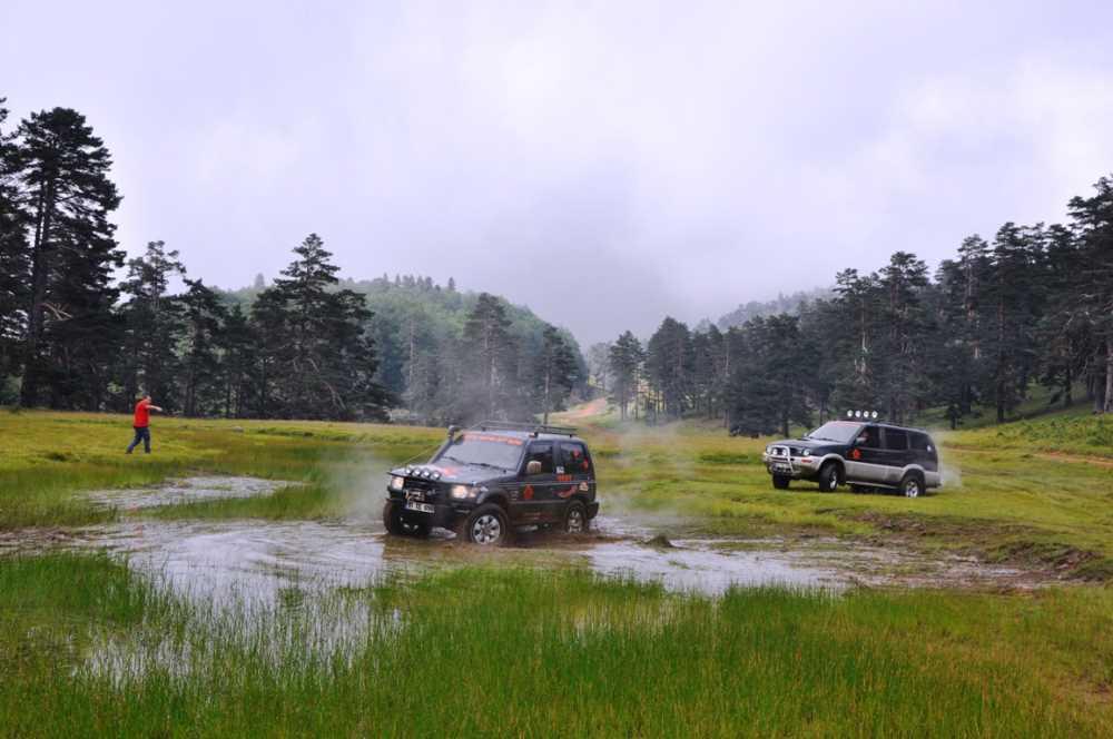
Activities | Camping, Off-road, Hiking, Picnicking, Observation, Photography | ||||||||
Cultural Connection | Historical connection with Yörük nomadic culture | ||||||||
Yörükler Yaylası is a natural recreation area located within the boundaries of Kaynaşlı district, Düzce province, with an average elevation of 475 metres. It has gained prominence for nature tourism and camping. The plateau is culturally linked to Darıyeri Yörükler Village, from which it derives its name, and holds significance both for its natural values and traditional uses. It supports integrated activities such as off-road sports, camping, and day-trip nature excursions.
Yörükler Yaylası is situated in the transitional zone of the Western Black Sea Region, on low-elevation mountain slopes. With an average elevation of 475 metres, the plateau features a undulating topography and lies between extensive grasslands and forest boundaries. The plateau-like surface provides ample space for both camping and motorized nature sports. The terrain structure poses low erosion risk, offering an advantage for sustainable use.
Yörükler Yaylası (Culture Portal)
The plateau is influenced by the mild and humid effects of the Black Sea climate as experienced in inland areas. Summer months are characterized by cool and windy weather, while winter brings cold conditions and occasional snow cover. This seasonal pattern results in predominant use during summer and spring. No seasonal drought occurs, ensuring the continuity of forest and grassland vegetation.
Access to Yörükler Yaylası is provided via private vehicles. The roads leading to the plateau, approximately 15 kilometres from Düzce city centre, are stabilized and offer easy access during summer months. However, road infrastructure can become challenging under heavy rainfall conditions. Directional signage and informational markings along the route are limited, increasing navigation demands for first-time visitors.
Yörükler Yaylası (Culture Portal)
The plateau is an important natural landscape element at the regional scale. The area is surrounded by broadleaf forests (hornbeam, oak, beech) and supports rich herbaceous plant diversity and natural grasslands. Environmental quietude, bird diversity, and seasonal flowering create potential for nature observation and photography. Although direct information on water sources is lacking, the moist microclimate supports the presence of groundwater.
Yörükler Yaylası offers multi-purpose open-space usage. It provides suitable environments for the following activities:
The plateau is directly culturally connected to Darıyeri Yörükler Village, from which it takes its name. The Yörük people refer to nomadic pastoral communities in Anatolia. Historically, this plateau was used during summer months for grazing small livestock and temporary accommodation. Although such activities have diminished today, traces of this historical culture remain in the name and usage patterns of the plateau.
Yörükler Yaylası covers an area of approximately four hectares. This expanse accommodates both individual and group activities. However, the absence of formal protected status results in a lack of regulatory oversight. Visitor sensitivity toward the environment is critical to preserving the area from degradation.
Although environmental threats at the plateau are not explicitly documented, the following risks represent potential hazards:
In this context, planned usage guided by sustainable tourism principles, environmental awareness, and infrastructure support are recommended.
Düzce Belediyesi. "Yörükler Yaylası." *Düzce Kent Portalı*. Accessed July 11, 2025. https://kentportal.duzce.bel.tr/yorukler-yaylasi/.
Düzce Valiliği Directorate of Culture and Tourism. "Yörükler Yaylası." *Republic of Turkey Düzce Governorate Directorate of Culture and Tourism Official Website*. Accessed July 11, 2025. https://duzce.ktb.gov.tr/TR-208158/yorukler-yaylasi.html.
Ministry of Culture and Tourism of the Republic of Türkiye. "Yörükler Yaylası." *Culture Portal – Places to Visit*. Accessed July 11, 2025. https://www.kulturportali.gov.tr/turkiye/duzce/gezilecekyer/yorukler-yaylasi-1.
T.C. Ministry of Culture and Tourism. "Yörükler Yaylası." *Culture Portal – Tourism Activities*. Accessed July 11, 2025. https://www.kulturportali.gov.tr/turkiye/duzce/TurizmAktiviteleri/yorukler-yaylasi.
Yörükler Yaylası (Culture Portal)
Location | Darıyeri Yörükler Village Düzce Kaynaşlı | ||||||||
|---|---|---|---|---|---|---|---|---|---|
Elevation(s) | Approximately 475 m | ||||||||
Area Size | 4 hectares (approximately) | ||||||||
Climate(s) | Temperate Black Sea climate cool summers | ||||||||
Vegetation Cover | Oak, Hornbeam, Chestnut; Natural Grasslands | ||||||||
Activities | Camping, Off-road, Hiking, Picnicking, Observation, Photography | ||||||||
Cultural Connection | Historical connection with Yörük nomadic culture | ||||||||
Physical Geography and Geomorphological Characteristics
Climate Characteristics and Seasonal Usage Conditions
Transportation Infrastructure and Accessibility
Ecological Features and Natural Landscape Values
Tourism Types and Recreational Activity Range
Cultural Context and Yörük Heritage
Land Use and Area Management
Environmental Threats and Sustainability Requirements