This article was automatically translated from the original Turkish version.
+2 More
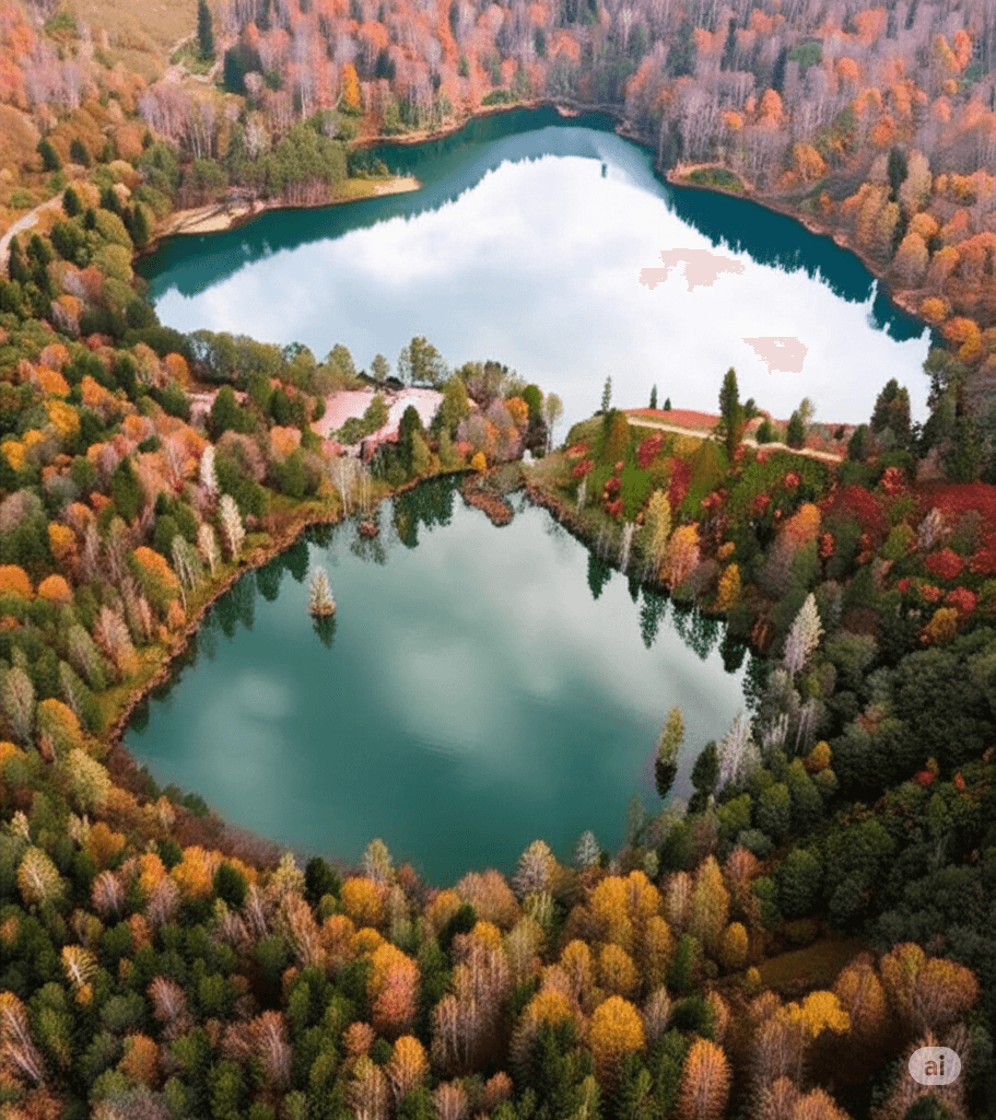
Karagöl Borçka / Generated with Artificial Intelligence
Location | Borçka Türkiye Artvin | ||||||||
|---|---|---|---|---|---|---|---|---|---|
Elevation Above Sea Level (M) | 1450 | ||||||||
Water Quality | Tatlı Su | ||||||||
Province It Belongs to | Artvin | ||||||||
District It Belongs to | Borçka | ||||||||
Karagöl is located in the Borçka district of Artvin province, approximately 25 km from the district center. It lies on the northwestern slopes of the Karçal Mountains and was formed by a landslide. It sits at an elevation between 1450 and 1480 meters above sea level. Karagöl consists of two lakes: a larger and a smaller one. The maximum depth of the lake reaches 25 meters, and its total area is approximately 50,000 square meters. The area encompassing Karagöl and its surroundings was declared a Nature Park on 14 August 2002. Due to its geological features and rich flora, Karagöl attracts interest in terms of tourism.

Karagöl Borçka (Ministry of Agriculture and Forestry of the Republic of Türkiye)
Borçka Karagöl is a landslide-dammed lake formed by geological processes. It originated when a landslide blocked the mouth of a valley in the past, resulting in two distinct lake bodies: one larger and one smaller. The lake has a total area of approximately 50,000 square meters and a maximum depth of 25 meters. Its water is freshwater and is connected to an external drainage system via a natural outlet stream, which maintains the lake’s hydrological cycle.
Borçka Karagöl and its surroundings hold ecological importance due to their rich geological and geomorphological structure as well as the diverse flora and fauna species they support. This natural diversity and landscape value led to the area being declared a Nature Park on 14 August 2002. Covering approximately 368 hectares, the Borçka Karagöl Nature Park offers significant potential for various tourism activities, particularly eco-tourism, nature hiking, camping, and photography.
Borçka Belediyesi. "Karagöl." Borçka Municipality Corporate Website. Last updated November 25, 2019. Accessed May 21, 2025. https://www.borcka.bel.tr/turizm/karagol/
Coşkun, Kerem, and Ertuğrul Özdemir, eds. Uluslararası Artvin Sempozyumu Tam Metin Kitapçığı. Artvin: Artvin Çoruh Üniversitesi, 2018. Accessed May 21, 2025. https://www.artvin.edu.tr/uploads/ias.artvin.edu.tr/userfiles/files/ias2018tammetin.pdf
Kopar, İbrahim, and Ramazan Sever. "Karagöl (Borçka-Artvin)." *Türk Coğrafya Dergisi*, no. 52 (2009): 17-29. https://dergipark.org.tr/en/download/article-file/198475
Ministry of Agriculture and Forestry of the Republic of Türkiye, Ekotaban. "Borçka Karagöl Nature Park." Doğa TurizmiWeb Uygulaması. Accessed May 21, 2025. https://ekotaban.tarimorman.gov.tr/alan/339

Karagöl Borçka / Generated with Artificial Intelligence
Location | Borçka Türkiye Artvin | ||||||||
|---|---|---|---|---|---|---|---|---|---|
Elevation Above Sea Level (M) | 1450 | ||||||||
Water Quality | Tatlı Su | ||||||||
Province It Belongs to | Artvin | ||||||||
District It Belongs to | Borçka | ||||||||
Formation and Physical Characteristics
Ecological and Touristic Significance