This article was automatically translated from the original Turkish version.
+1 More
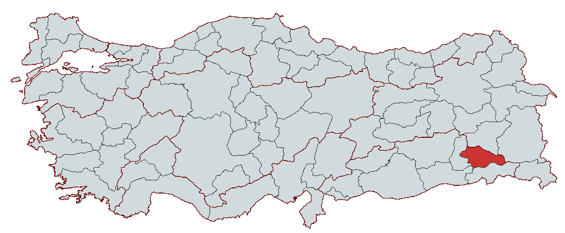
Siirt
Country | Türkiye | ||||||||
|---|---|---|---|---|---|---|---|---|---|
Region(s) | Southeastern Anatolia Region | ||||||||
Population | 336453 | ||||||||
Area(s) | 5406 km² | ||||||||
Climate(s) | Continental Climate | ||||||||
Important Structure(s) | Deliklitaş Şelalesi ve Mağarası Botan Köprüsü İsmail Fakirullah Türbesi ve Tillo Kalesi Veysel Karani Türbesi Siirt Ulu Camii | ||||||||
Governor(s) | Kemal Kızılkaya | ||||||||
Mayor(s) | Kemal Kızılkaya (Vekil) | ||||||||
Area Code(s) | 484 | ||||||||
License Plate Code | 56 | ||||||||
Siirt is a province located in southeastern Türkiye, historically under the dominion of various civilizations. Geographically, it serves as a transitional zone between Anatolia and Mesopotamia. Throughout history, Siirt has been a crossroads of different cultures and became an administrative center during the Ottoman period, gaining provincial status with the proclamation of the Republic. Today, it is a province where agriculture, animal husbandry, and trade are prominent, and it also attracts attention through its distinctive historical and cultural structures.
Due to its position between Anatolia and Mesopotamia, Siirt has been under the control of various civilizations throughout history. With a history extending back to the Tel Halaf and El-Ubeyd cultures, it has been an area of interaction among diverse cultural and ethnic groups. Archaeological findings in the region are associated with these early settlements.
Siirt and its surroundings came under the influence of Mesopotamian civilizations. Throughout history, the region was controlled by the Sumerians, Akkadians, Gutians, Assyrians, Babylonians, Mitanni, and Hurrians.
During Persian rule, Siirt was part of the satrapy system and administered as an administrative unit. In 334 BCE, after Alexander the Great defeated the Persians, the region came under the control of the Macedonian Kingdom, later passing between the Seleucids and the Parthians.
Siirt changed hands multiple times between the Roman and Sassanian Empires.
In 639 CE, Siirt came under Muslim administration following the conquest of the region by Islamic armies led by Khalid ibn al-Walid and Iyad ibn Ganem. The local Christian administrator surrendered the city to avoid conflict.
After the Battle of Manzikert (1071), Siirt was incorporated into Seljuk territories by Turkic groups settling in the region. Subsequently, it came under the rule of various beyliks including the Artuqids, Zengids, and Ayyubids.
During the Ottoman period, Siirt was initially a district subordinate to the Diyarbekir Eyalet, and later became a sanjak within the Bitlis Vilayet. It retained its sanjak status throughout the 19th century under Ottoman administrative reforms.
With the proclamation of the Republic of Türkiye in 1923, Siirt attained provincial status.
Siirt is located in the Southeastern Anatolia Region of Türkiye, although its northern and northeastern sections extend into the Eastern Anatolia Region. Due to its geographical position, it features a blend of the lowland plains of Mesopotamia and the rugged highlands of Anatolia.
Siirt lies between 36° 36’ and 37° 55’ north latitudes and 41° 57’ and 43° 12’ east longitudes.
The province covers an area of 5,406 km², stretching 130 km in the east-west direction and 110 km in the north-south direction.
A large portion of Siirt is characterized by mountainous and rugged terrain. The extensions of the Southeastern Taurus Mountains rise in the northern and eastern parts, while elevation decreases toward the southwest, transitioning into the Mesopotamian Plain.
The highest points in Siirt are concentrated in the east and northeast. Major mountains include:
The mountainous areas in the northeast are fragmented by valleys formed by the Bitlis River and the Tigris River. In the south, elevation decreases, and broad plains are found in the districts of Kurtalan and Baykan.
Although Siirt lacks extensive flat plains, it contains low-elevation plateaus and valley-bottom alluvial plains.
Siirt’s landscape is shaped by the Tigris River and its tributaries.
Siirt has no natural lakes, but it contains several reservoir lakes and irrigation ponds.
Siirt is one of the regions in Türkiye with a low earthquake risk. However, due to its proximity to the Southeastern Anatolian Thrust Belt, minor tremors may occasionally occur. The predominant rock types in the region are karstic limestone and basalt layers.
Siirt exhibits transitional characteristics between a continental climate and a Mediterranean climate.
Due to elevation differences, milder climates are observed in low-altitude areas such as Kurtalan and Baykan, while harsh continental conditions prevail in high-altitude areas like Pervari and Şirvan.
Precipitation:
Siirt’s vegetation cover varies according to climatic conditions.
Mountainous areas in the northeast of Siirt feature oak forests.
Steppe vegetation is widespread in the southern parts of Siirt.
Siirt is one of the richest provinces in the Southeastern Anatolia Region in terms of wildlife.
Protected Areas:
Siirt’s total population is 336,453, distributed among districts as follows:
The city is home to various ethnic groups including Turks, Kurds, and Arabs. Due to its predominantly rural character, Siirt is experiencing population loss, while the provincial center continues to grow.
Siirt’s economy is largely based on agriculture, animal husbandry, trade, and small-scale industry. Due to its geographical structure, industrialization is limited, and agriculture and animal husbandry remain the primary sources of livelihood. In recent years, infrastructure projects and improvements in transportation have contributed to growth in other economic sectors.
Agricultural production in Siirt varies according to climate and soil conditions.
With the expansion of irrigation projects, vegetable production has also increased.
Siirt’s high-altitude plateaus and extensive pastures provide suitable conditions for animal husbandry.
Siirt’s industry is generally composed of small and medium-sized enterprises. Although there are no major industrial facilities, industry based on agricultural and animal production is evident.
The energy sector has developed in recent years due to investments in dams and hydroelectric power plants.
Trade in Siirt is primarily centered around agricultural and animal husbandry products. The province is integrated into commercial networks due to its proximity to industrial centers such as Batman and Diyarbakır.
Siirt’s transportation infrastructure is largely based on road networks.
Recent projects such as the Batman-Siirt highway and bridge constructions have strengthened the transportation infrastructure.
Siirt possesses a certain tourist potential due to its historical structures, natural beauty, and cultural heritage. However, the tourism sector is still developing and cannot yet be considered significant due to infrastructure deficiencies.
1. Siirt Ulu Mosque
2. Veysel Karani Tomb
3. Tillo Castle and Ismail Fakirullah Tomb
4. Botan Valley National Park
Siirt offers limited ecotourism opportunities due to its natural beauty and valleys.
1. Botan Valley
2. Siirt Waterfalls
3. Pervari Highlands
Siirt has a rich tradition of traditional handicrafts.
Siirt cuisine reflects the characteristic features of the Southeastern Anatolia Region with its meat- and grain-based dishes.
1. Büryan Kebab (Perive)
2. Pirtike Soup
3. Varak Keşkeği
4. Zivzik Pomegranate
5. Pervari Honey
Metin Tuncel. "Siirt." *TDV İslâm Ansiklopedisi.* Accessed February 15, 2025. https://islamansiklopedisi.org.tr/siirt.
Ministry of Culture and Tourism. "Siirt Genel Bilgiler." Accessed February 15, 2025. https://www.kulturportali.gov.tr/turkiye/siirt/genelbilgiler.
Siirt Belediyesi. "Coğrafi Yapı." Accessed February 15, 2025. https://www.siirt.bel.tr/cografi.
Siirt Valiliği. "Buryan Perive." Accessed February 15, 2025. http://www.siirt.gov.tr/buryan-perive-.
Turkiye İstatistik Kurumu. "Adrese Dayalı Nüfus Kayıt Sistemi Sonuçları 2024." Accessed February 15, 2025. https://data.tuik.gov.tr/Bulten/Index?p=Adrese-Dayali-Nufus-Kayit-Sistemi-Sonuclari-2024-53783.

Siirt
Country | Türkiye | ||||||||
|---|---|---|---|---|---|---|---|---|---|
Region(s) | Southeastern Anatolia Region | ||||||||
Population | 336453 | ||||||||
Area(s) | 5406 km² | ||||||||
Climate(s) | Continental Climate | ||||||||
Important Structure(s) | Deliklitaş Şelalesi ve Mağarası Botan Köprüsü İsmail Fakirullah Türbesi ve Tillo Kalesi Veysel Karani Türbesi Siirt Ulu Camii | ||||||||
Governor(s) | Kemal Kızılkaya | ||||||||
Mayor(s) | Kemal Kızılkaya (Vekil) | ||||||||
Area Code(s) | 484 | ||||||||
License Plate Code | 56 | ||||||||
History
Ancient Era: Early Civilizations
Roman and Sassanian Periods
Islamic Rule
Turkic-Islamic States and the Ottoman Period
Republican Period
Geography
Location and Boundaries
Topography
Rivers and Lakes
Geological Structure and Seismicity
Climate
Summers:
Winters:
Transitional Seasons:
Vegetation and Natural Life
Forests:
Steppes and Steppe Vegetation:
Wildlife:
Population
Economy
Agriculture and Animal Husbandry
Agricultural Products:
Animal Husbandry:
Industry and Energy
Trade and Transportation
Tourism
Historical and Cultural Sites
Natural Areas and Ecotourism
Cultural Heritage and Handicrafts
Siirt Cuisine