+1 More
Narman ( District)
Location | Eastern Part of Erzurum | ||||||||
|---|---|---|---|---|---|---|---|---|---|
Climate(s) | Continental Climate | ||||||||
Topography | Mountainous Rugged Terrain | ||||||||
Economy | Livestock Agriculture | ||||||||
Narman is a district located in the eastern part of Erzurum province and is characterized by its historical significance and natural richness. The district possesses a predominantly mountainous terrain, being surrounded by high mountain ranges, which significantly influence both the local climate and agricultural practices. Throughout history, Narman has hosted various civilizations, reflecting its historical depth and cultural diversity. In the present day, the district’s economy is primarily shaped by agriculture and livestock breeding. One of the region’s most notable natural features, the Narman Fairy Chimneys, has formed as a result of long-term geological processes and represents a unique geomorphological structure within the area.

Adalı Lake in Narman (District Governorate)
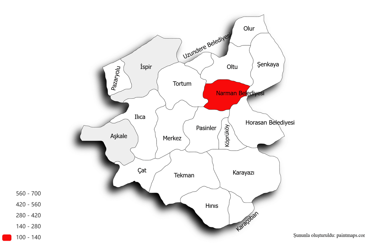
The district of Narman is situated in the northeastern part of Erzurum province, approximately 90 kilometers from the provincial center. Located to the east of Erzurum, Narman is bordered by the district of Oltu to the east, Pasinler to the west, and Şenkaya and Tortum to the south. Geographically, Narman lies within a mountainous zone of Erzurum, surrounded by high mountain ranges. Prominent peaks within the district’s boundaries include Mount Deve (2916 m), Mount Gökdağ (2731 m), Mount Güllüdağ (2893 m), and Mount Büyükdağ (2800 m). These mountains not only form natural borders for the district but also play a significant role in shaping its hydrological resources.

Narman District (Thematic Maps)
The history of Narman district extends back to prehistoric times. The region has hosted numerous civilizations since the era of the Urartian Kingdom. Over the centuries, the Persians, as well as the Roman and Byzantine Empires, played significant roles in the historical development of Narman. Following the Seljuk domination in the region, Narman became a prominent administrative and cultural center under the Ottoman Empire as a sanjak (district) of the Erzurum Eyalet (Province). With the establishment of the Republic of Türkiye, Narman was granted district status and was reorganized in 1946 as an administrative division affiliated with Erzurum province.
Narman is situated within the continental climate zone of Eastern Anatolia. Winters in the district are typically cold and snowy, while summers are hot and dry. The presence of high mountains around the region leads to microclimatic variations. Colder conditions prevail in the southern and eastern parts of the district, whereas the central area occasionally experiences relatively milder temperatures. Snowfall and frost are frequent in winter, and during the summer, temperatures can rise to an average of approximately 30°C.
The district of Narman encompasses a variety of geological formations and natural resources. The region is particularly known for its abundance of reddish rocks. The Narman Fairy Chimneys, a prominent geomorphological feature, have formed through erosional processes involving wind and water acting upon these soft, sandy rocks over time. Additionally, the area contains groundwater reserves and mineral deposits. The high mountains facilitate water infiltration into the soil, which contributes to the formation of agriculturally suitable lands.
Narman's economy is predominantly based on agriculture and animal husbandry. The most commonly cultivated crops include wheat, barley, and potatoes. Both small-scale and large-scale livestock breeding are widespread across the district. In recent years, organic farming and beekeeping have emerged as significant economic activities. The district’s mountainous landscape offers extensive natural pastures, which support the development of animal husbandry. Furthermore, the region’s potential for ecotourism has started to attract attention and investment.
Among Narman’s most distinctive natural features are the so-called “Narman Fairy Chimneys.” Located near the village of Yanıktaş, these formations have developed over time as a result of the erosion of sandy and soft rocks by wind and water. The striking red coloration of the rocks contributes to a unique geological landscape. The Narman Fairy Chimneys have become a subject of scientific interest for researchers studying regional geomorphology and continue to attract visitors as a noteworthy tourism destination.

Narman Fairy Chimneys (Culture Portal)
Narman maintains a traditional and rural way of life. Folk dances, traditional handicrafts, and "aşık" (minstrel) literature are among the core components of the region’s cultural heritage. Renowned folk poets such as Aşık Sümmani have played a significant role in shaping the cultural identity of Narman. Additionally, the district hosts various traditional festivals and fairs, which serve to reinforce the cultural cohesion and social bonds of the local community.
The district is equipped with educational institutions ranging from primary to higher education. Numerous primary and secondary schools provide education to students across the region. Furthermore, Narman Vocational School, affiliated with Atatürk University, offers specialized programs in agriculture, animal husbandry, and technical fields. These institutions play a critical role in training a skilled workforce to meet the needs of the district’s agriculture-based economy.
Narman is connected to the Erzurum city center by road. Transportation between Erzurum and Narman is provided primarily via the Erzurum–Pasinler route. The road network within the district is paved, enabling consistent road-based access. Basic infrastructure services such as water supply, sewage, and electricity are available in the district center. The municipality continues to develop infrastructure projects to ensure the sustainability and efficiency of these essential services.
Local administration in Narman is carried out by the elected mayor. The municipality implements various projects to address the infrastructural, social, and cultural needs of the district. The administrative structure comprises the municipal government as well as neighborhood-level administrations, which serve as direct points of contact between the local population and public services.
As of 2023, the population of Narman is approximately 20,000. The proportion of young people is relatively high compared to other age groups, and the majority reside in rural areas. However, there is a noticeable trend of youth migration to major cities in pursuit of education and employment opportunities. Population density is generally higher in villages, in parallel with the district’s agriculture-oriented economy.
Erzurum Provincial Directorate of Culture and Tourism. "Narman Fairy Chimneys." Accessed May 29, 2025. https://erzurum.ktb.gov.tr/TR-174617/narman-peri-bacalari.html.
Erzurum Provincial Directorate of Culture and Tourism. "Narman." Accessed May 29, 2025. https://erzurum.ktb.gov.tr/TR-56058/narman.html
Erzurum Provincial Directorate of National Education. "Historical, Geographical, Economic and Cultural Status of the Province." Accessed May 29, 2025. https://erzurum.meb.gov.tr/www/ilin-tarihi-cografi-ekonomik-ve-kulturel-durumu/icerik/664.
Narman Municipality. "Our History." Accessed May 29, 2025. https://www.narman.bel.tr/sayfa/tarihcemiz.html.
Narman ( District)
Location | Eastern Part of Erzurum | ||||||||
|---|---|---|---|---|---|---|---|---|---|
Climate(s) | Continental Climate | ||||||||
Topography | Mountainous Rugged Terrain | ||||||||
Economy | Livestock Agriculture | ||||||||
Geographical Location
Historical Background
Climate
Natural Resources and Geology
Agriculture and Animal Husbandry
The Narman Fairy Chimneys
Social Structure
Education
Transportation and Infrastructure
Local Administration and Governance
Population and Demographic Structure
This article was created with the support of artificial intelligence.