This article was automatically translated from the original Turkish version.
+2 More
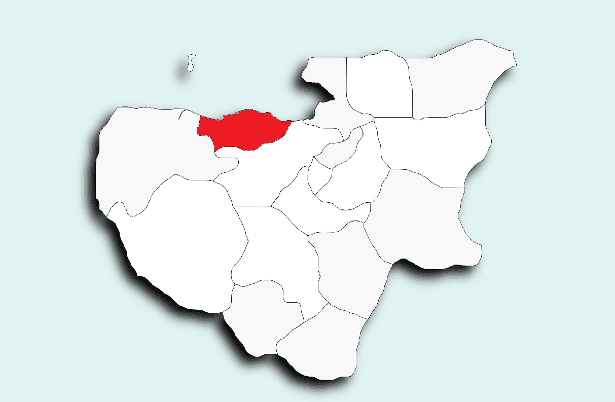
Mudanya
Province(s) | Bursa | ||||||||
|---|---|---|---|---|---|---|---|---|---|
Region(s) | Marmara Region | ||||||||
Population | 109,964 (2023) | ||||||||
Area(s) | 368.86 km² | ||||||||
Geographical Location(s) | 40-41 Degrees North Latitude 28-29 Degrees East Longitude | ||||||||
District Governor | Ayhan Terzi | ||||||||
Mayor(s) | Deniz Dalgıç | ||||||||
Mudanya is a historic district located in northwestern Türkiye, within the Bursa province of the Marmara Region. The settlement, whose earliest origins date back to the 7th century BCE, was initially known as Myrlea. It was invaded and burned in the 4th century BCE by King Philip II of Macedon. During the same period, Kios was also destroyed. During this invasion, Prusias, son of Zela, aided Philip II and in return received both Kios and Myrlea. Prusias renamed Kios after himself and gave Myrlea the name of his wife, Apameia. Prusias undertook reconstruction in the town and constructed walls around the areas of today’s Tirilye and Kumyaka neighborhoods to defend against potential naval attacks. Over time, the name Apameia evolved into Montania and eventually became Mudanya as it is known today.
Mudanya was conquered in 1321 by Orhan Bey, the second ruler of the Ottoman Beylik, and incorporated into Ottoman territory. According to records from the Hüdavendigar Vilayeti Salnamesi, Mudanya gained district status in 1871. Following the Armistice of Mudros signed after World War I, Mudanya came under brief British occupation. In the clashes that began on 25 June 1920 with a resistance led by Corporal Şükrü Çavuş against British troops, the British withdrew. However, eleven days later, the Greek army replaced the British forces. The Greek occupation, which lasted approximately two years, ended on 12 September 1922, a date commemorated annually as Mudanya’s Liberation Day. Mudanya also hosted the Mudanya Armistice, which holds major political and diplomatic significance in the Turkish War of Independence. Signed in 1922, this agreement marked a critical turning point in ending the war and shaping the new era. These events and dates form essential elements of Mudanya’s historical importance.
Mudanya is located in the Marmara Region of Türkiye, between 28 and 29 degrees east longitude and 40 and 41 degrees north latitude. To its east lies Gemlik, to its west Karacabey, to its south Osmangazi and Nilüfer, and to its north the Gemlik Gulf. The Mudanya Mountains, which encompass the region, form a natural barrier between the Bursa Plain and the Sea of Marmara. The highest point of these mountains is Üsküp Tepesi, at 600 meters above sea level. The district covers an area of 368.86 km², with generally hilly terrain. The main river is the Nilüfer Çayı. Mudanya’s coastline extends approximately 45 kilometers, and its maritime area spans 305 km².
Mudanya reflects the general climatic characteristics of the Marmara Region while exhibiting transitional features between Mediterranean and Black Sea climates. Its climate is predominantly Mediterranean. The prevailing wind direction is from the northeast (poyraz), and most precipitation is carried from the north over the Sea of Marmara. Rainfall is highest during winter months. Summers are hot, dry, and humid, while winters are cold, wet, and windy. Strong winds from the southwest (lodos) occur throughout the year. The annual average temperature is 14.8 °C, and the total annual precipitation is approximately 745.9 mm. The highest recorded temperature is 39.3 °C (13 July 2000), and the lowest is -6.5 °C (3 February 1982).

Mudanya Armistice Museum House (Culture Portal)
Mudanya is a settlement where historical and cultural richness converge with natural beauty. Located approximately 20 to 25 minutes from the city center of Bursa and about one hour and 45 minutes from Istanbul by ferry, the district boasts an environment rich in iodine and oxygen. Seafood and fish restaurants, cafes operating year-round, and the seaside promenade (kordon) form the foundation of its domestic tourism potential. Visitors from neighboring provinces and districts particularly favor Mudanya for day trips.
Mudanya also possesses a rich heritage of historical structures. The building where the Mudanya Armistice was signed in 1922 now serves as a museum welcoming visitors. The district includes 41 monuments officially registered by the Bursa Regional Council for the Protection of Cultural and Natural Heritage, 326 civil architectural structures, and 3 historical industrial buildings.
Among the significant historical structures are: Armistice Museum House, Eski Camii (1594), Hasanbey Camii (1652), Tahir Paşa Konağı (18th century, Lale Period architecture), Montania Hotel (19th century example of French architecture), Girit Mahallesi (historic wooden houses and urban layout), Tirilye Fatih Camii (converted from an earlier church), Manastır Kilisesi (founded in 709, remains still exist), Kemerli Kilisesi (13th century structure), Ottoman Bath (Avlulu Hamam) (from the reign of Yavuz Sultan Selim), Taş Mektep (1909, Neoclassical building), Kapanca Port (ancient port from the Roman period), and Historical fountains (Çifte Çeşme, Çanaklı Çeşme, Çarşı Çeşmesi, Fatih Cami Çeşmesi, Sofalı Çeşme).

Tahir Paşa Konağı (District Governorate of Mudanya, Republic of Türkiye)
Mudanya also features approximately 60 natural monuments, including plane and cypress trees. The local population shows strong interest in folklore, theater, and sports activities. Cultural events are regularly organized at the Mudanya Municipality Uğur Mumcu Culture Center, established in 1993. The district hosts one radio station and four weekly local newspapers.
An important educational institution, the Mudanya District Public Library, operates within the Social Life Center on a 160 m² area. According to 2017 data, the library holds 12,279 books, serves 1,756 readers, and lends out 2,556 books annually.
Bursa Valiliği. "Mudanya." Accessed June 23, 2025.
Kültür Portalı. "Mudanya Mütareke Evi Müzesi." Accessed June 23, 2025. https://www.kulturportali.gov.tr/turkiye/bursa/gezilecekyer/mudanya-mutareke-evi-muzesi.
Mudanya Belediyesi. "Hakkında." Accessed June 23, 2025.
Mudanya Belediyesi. "Tarihçe." Accessed June 23, 2025.
Mudanya Kaymakamlığı Governorship. "Tarihi ve Coğrafi Yapısı." Accessed June 23, 2025. http://www.mudanya.gov.tr/tarihi-ve-cografi-yapisi.
Mudanya Kaymakamlığı. "Tahir Paşa Konağı." Accessed June 23, 2025.

Mudanya
Province(s) | Bursa | ||||||||
|---|---|---|---|---|---|---|---|---|---|
Region(s) | Marmara Region | ||||||||
Population | 109,964 (2023) | ||||||||
Area(s) | 368.86 km² | ||||||||
Geographical Location(s) | 40-41 Degrees North Latitude 28-29 Degrees East Longitude | ||||||||
District Governor | Ayhan Terzi | ||||||||
Mayor(s) | Deniz Dalgıç | ||||||||
History
Geographical Structure
Climate
Culture and Tourism